Tad Fane: the twin falls into the gorge
Two streams spill from the Bolaven Plateau into a forested gorge. The view changes with the season, but the falls keep their separate character.
- From Pakse
- About 1 hour by road
- At its best
- Rainy season for full flow
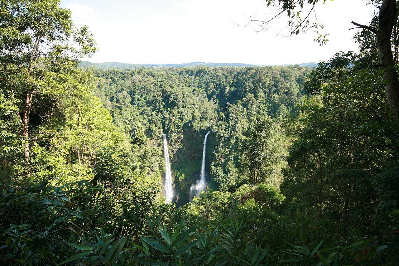
When I tell the Tad Fane story, I start with its shape: two streams, side by side, dropping from the plateau edge into a deep gorge. That simple outline can change with the season. Round here, the falls are easiest to understand from across the gap, where both strands are in view and the forested walls give the drop its scale.
At the plateau’s edge. Tad Fane lies along the Bolaven Plateau’s western edge, in Champasak province. It is about 38 km east of Pakse along Route 16, roughly 10 km before Paksong. That places the falls on the plateau road, with the gorge opening from the side of the high land rather than appearing as a waterfall in a low valley. The setting matters: the water is leaving the plateau and dropping into the forest below.
One stream, split in two. The water comes from the Houay Bang Lieng, a stream that drains the high plateau. At Tad Fane, it divides into a pair of falls. The name takes in the pair, not just whichever strand catches the eye first. The source is up on the plateau; the plunge is down into the gorge. A short description, really, but it makes the landscape easy to picture.
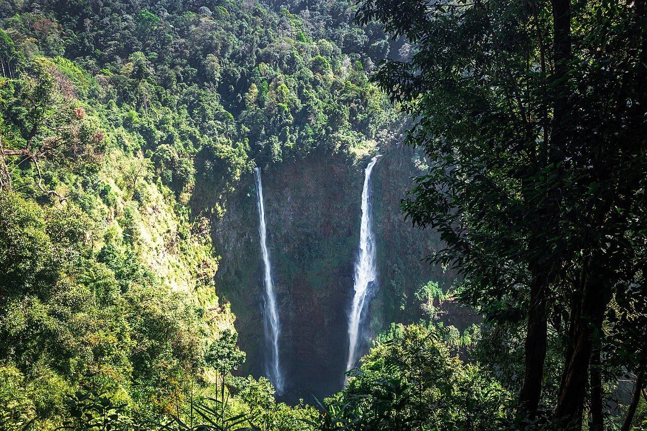
A proper drop. The two streams fall roughly 120 metres into a forested gorge. From above, that distance reads less like a neat measurement and more like a sudden break in the land. The falls leave the basalt lip and vanish down between steep, tree-covered walls. The best part of Tad Fane is that both falls stay in view together. For comparison, the wider fall a short ride up the road offers a different shape of water to set beside this twin drop.
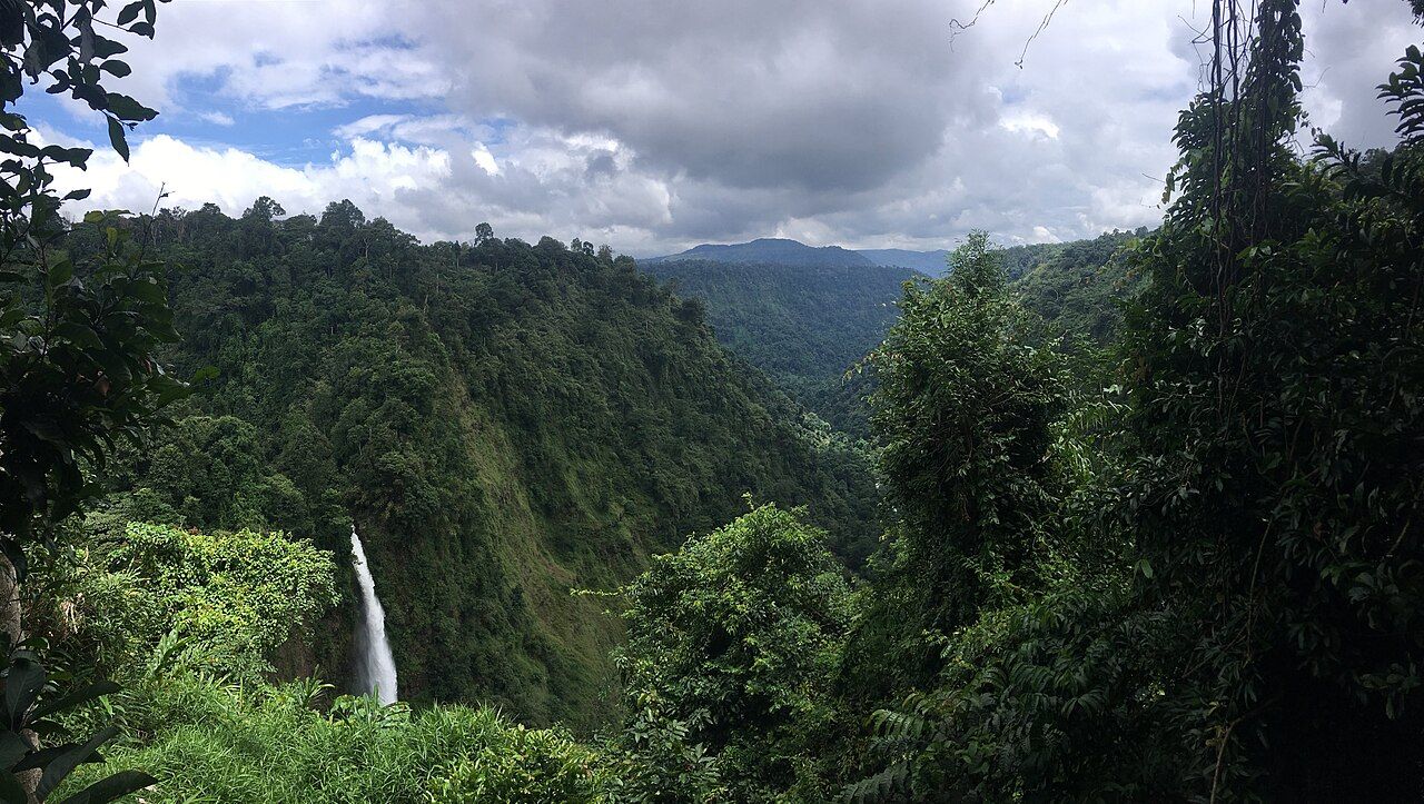

The best part of Tad Fane is that both falls stay in view together.
The view is from the opposite rim. The main viewpoint looks across the gorge at both falls. It is not a view from the foot of the cascade, and that changes how the place is read: the whole drop sits opposite, with the forested gorge between the viewpoint and the falling water. The gap is the defining feature of the view: both falls opposite, with the gorge and its trees between. Reaching the foot means a steep, slippery descent. That is not a casual walk, and the viewpoint is the straightforward way to take in the falls as a pair.
Rain gathers the strands. From roughly May through October, wet-season water brings the twin falls together as a broad curtain of brown water. The separate lines become less distinct, and the gorge takes on a heavier, more continuous fall. This is the season for full flow. There is a different character to that broad sheet than to the two clean strands of the dry months; neither version needs help from a grand description.
Dry months draw the lines apart. When the water thins, the two strands stand clearly apart again. I’m fond of this version because the shape is so plain: the source divides, then the falls mark their own paths down the gorge. In the cool season, morning mist often fills the gorge and lifts as the sun climbs. The view can shift from veiled to open without changing its essential outline. Season does the rearranging here.
Forest all around the drop. The gorge below Tad Fane lies within the Dong Hua Sao National Protected Area. Around the falls, evergreen and semi-evergreen forest covers the steep walls, with tall trees growing out of them. It is not just a backdrop behind the water. The trees run down the gorge beside the falls, giving the drop a scale that bare rock alone would not. From the opposite rim, water and forest belong to the same view.
Basalt at the lip. The rocks at the gorge edge are basalt, laid down by ancient lava flows that built the plateau. Basalt gives the plateau edge its hard line: ancient lava flows built the plateau, and the falls begin at that rim. The falls look dramatic, but the rock marks the edge the water leaves behind as it drops away. I find that a useful thought to carry back to the viewpoint, where the water’s path starts at the dark rim.

For another waterfall story, carry on to the one marked below. The paper map can wait for the next look at the plateau.