Tad Sekatamtok and the big falls of the east
A broad basalt ledge, powerful water and a long, bending road mark a day out toward the eastern edge of the plateau.
- From Pakse
- About 3 hours by road
- At its best
- Rainy season for power
I keep a dog-eared paper map in mind for a day like this. Not for measuring the road. For following its bend toward the eastern edge of the Bolaven Plateau, where the land drops away and the falls feel a long way from the busier stops near Pakse.
Morning points along the road from Paksong toward Attapeu. Tad Sekatamtok lies off this road, on the far side of the plateau. There is no quick, straight dash down to the valleys here. The road winds through forest and takes long hairpin bends as it descends. The line on the map looks simple enough. The land has other ideas.
That slow descent is part of the point. The eastern edge falls toward the valleys of the Xe Kong and Xe Kaman rivers, and the road works its way down through that change in height. Round here, the eastern falls are not the ones most visitors reach. Compared with the waterfalls near Pakse, few make it this far. The quiet feels less like a secret than a consequence of the long road.
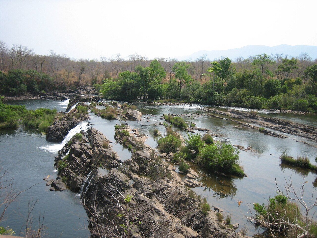
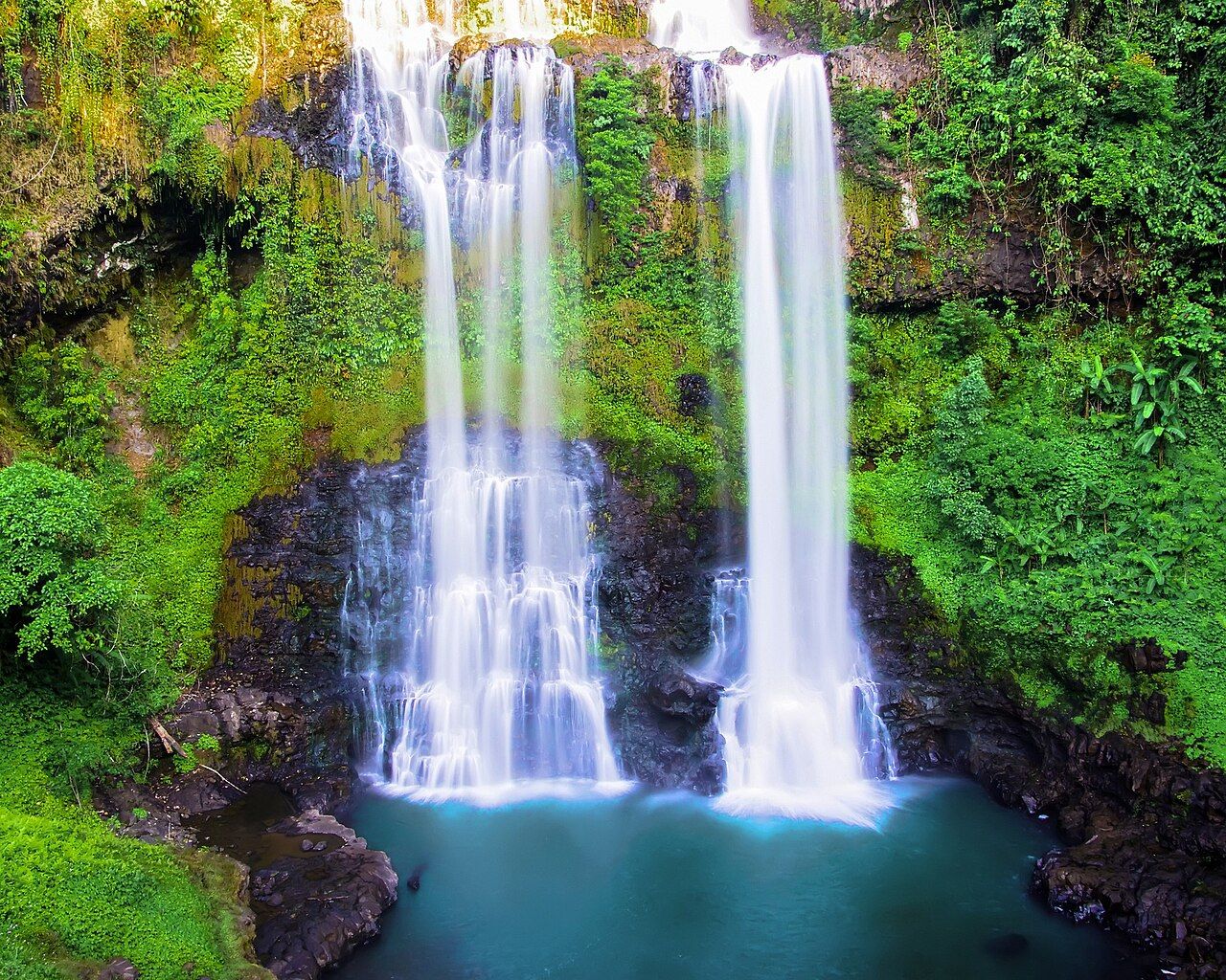
Then there is the scale of Tad Sekatamtok itself. It is wide and powerful, spilling over a broad basalt ledge. The ledge gives the water room to spread; the falls do not feel pinched into a narrow gap. In rainy season, this is where their power comes forward. It is the sort of place where a brief stop can turn into a longer look. No need to hurry the view. The road has already taught patience.

By the middle of the day, the rivers help make sense of the direction of the land. Rivers on this side of the plateau drain toward the Xe Kong. The Xe Kong joins the Mekong in Cambodia, carrying the eastern plateau’s water onward. The map’s neat lines become a much larger route, though the ground under the road is still forest, bends and falling country.
There is another layer to the water. Hydropower projects have changed the flow of several rivers on the eastern plateau. That matters to a day centred on falls: the force of a river is not separate from what has happened along its course. Tad Sekatamtok remains the big pull here, but the wider river system is part of the picture too.
For the return, or for continuing along the route toward Attapeu, the road keeps its own pace. Those long hairpins make the distance feel measured in turns rather than in a straight line. The eastern side is remote in the plain sense: fewer visitors, a long road, and a broad landscape draining away from the plateau. For another version of the ride, there is the long ride down to the Xe Kong valley.
Evening, on the map at least, is the moment to fold the eastern edge back into the larger shape of the plateau. The falls sit off the road; the rivers keep running toward the Xe Kong. The dog-eared paper map closes on a line of bends, and Tad Sekatamtok stays there at the edge of the page.