The Big Loop Through Sekong and Attapeu
The long eastern run leaves the plateau for Sekong and Attapeu, follows the Xe Kong valley, then climbs west past the hydropower projects on the way back over the plateau.
- From Pakse
- Starts in Pakse
- At its best
- Dry season
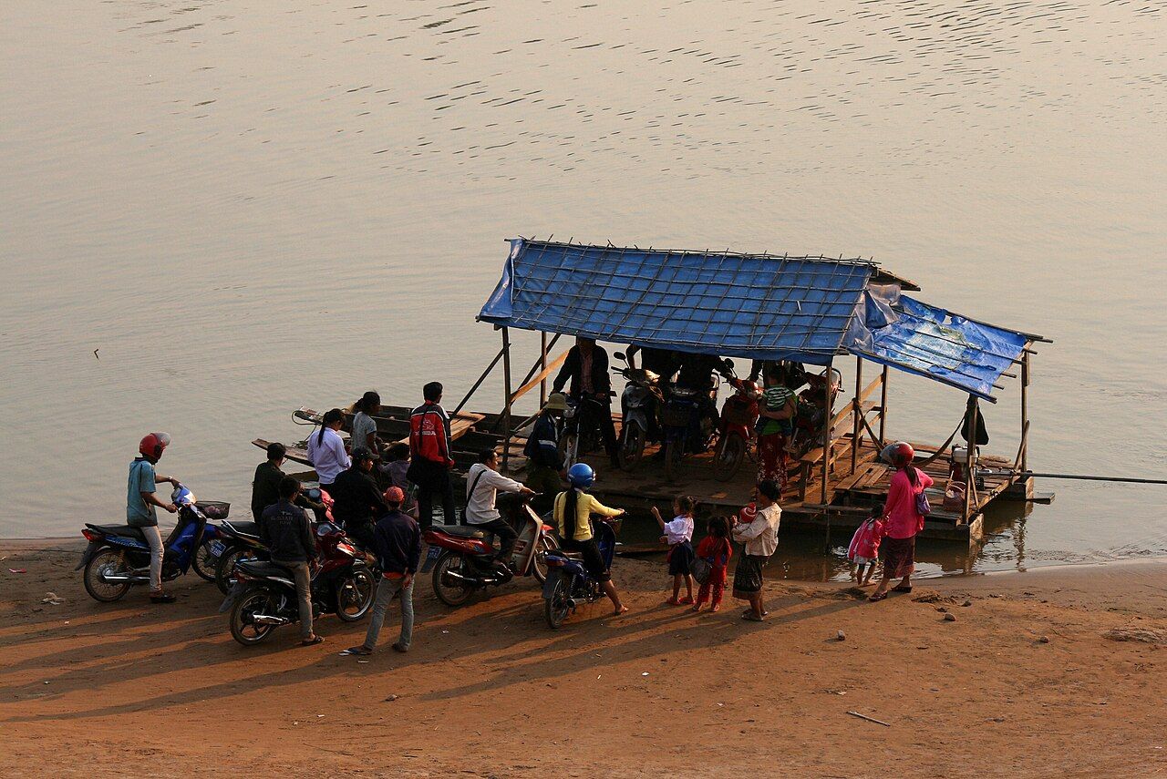
On the paper map, the eastern edge looks tidy: east from Thateng, south through Sekong and Attapeu, then west and up to Paksong. Round here, that line is the long version of the big loop, not a small detour to tuck in without thought. The map is good at showing where the road goes. It is less helpful about the heat, the longer gaps between fuel stops, and the weight of the trucks. No map earns a holiday for that.
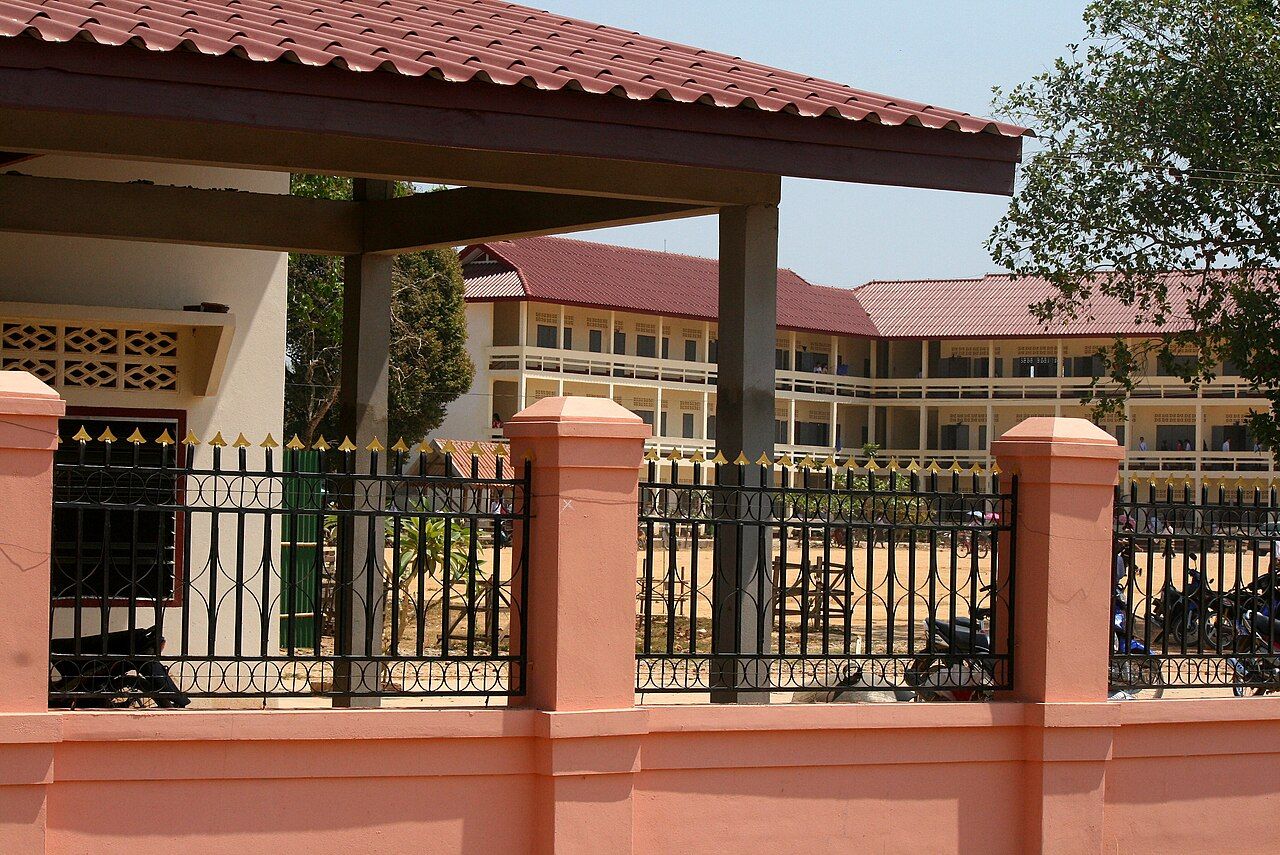

Start with the shape of the ride. The big loop continues east from Thateng to Sekong town, on the Xe Kong river. That is the turn onto the eastern side, where the route is defined by the river valley and the road onward to Attapeu. I like that this part reads clearly on a map. I would not dress it up as a maze; it is a long stretch of the loop with its own scale and conditions.
Sekong is more than a name between two turns. It is a town on the Xe Kong, and the river is part of the geography of this ride. The stretch through the two eastern provinces belongs in the big-loop plan as a whole, rather than as an extra line to squeeze in after the plateau. That distinction is useful. The eastern side has longer distances between fuel stops, so the map’s neat line does not mean the days are interchangeable or the gaps are small.
The Xe Kong valley carries a history that should not be mistaken for scenery. It was heavily bombed during the war because the Ho Chi Minh Trail ran close by. That fact changes how I think about a line on a map: it is not just a route between towns, and the valley is not an empty margin around the road. The history stands on its own. It is part of this place, and part of the ride through it.
From Sekong, the main road runs south to Attapeu along the Xe Kong valley. This is the straightforward spine of the eastern run, but straightforward does not mean short or effortless. The distances between fuel stops are longer on the eastern side, and that changes how the day reads. Leave room in the plan for the distance itself, rather than treating each town name as a quick hop. The paper map is still doing its best; it just cannot fold the valley shorter.
Attapeu town lies on the Xe Kong near its meeting with the Xe Kaman. It is a river town in a very literal sense, placed where the two rivers come together. That makes it a natural point to pause and take in the shape of the route, before the road turns west. I have a soft spot for a place that makes its geography easy to understand. Two rivers, one town, and a road that has brought the eastern side into focus.
There is traffic out here. The eastern roads carry heavy trucks serving dams and plantations, so the idea of an empty road needs a little care. The long spaces between towns can make this side feel separate from the plateau, but the trucks are a reminder that the road has work to do. I would rather describe the ride as a quieter-feeling edge of the loop only with that qualification in place. Heavy vehicles are part of the view, not an exception to it.
The eastern lowlands around Sekong and Attapeu are hotter than the plateau. That is worth keeping in mind through the dry season, especially when the route is already asking for longer distances between fuel stops. The practical point is simple: this is not the plateau section with a different name. The land changes, and so does the feel of the ride. A map can show the route bending south; it cannot do much with heat. That old paper rectangle has limits, despite its confidence.
From Attapeu, the road back to Paksong climbs west onto the plateau, passing large hydropower projects. This is the return over the plateau, and it gives the long loop its proper shape: out from Pakse, east to Sekong, south to Attapeu, then west and up again. Most riders take four to six days for the big loop. That is a useful frame for the longer version, not a reason to rush the eastern leg into the margins. The climbing road is part of the ride, not just the way home.
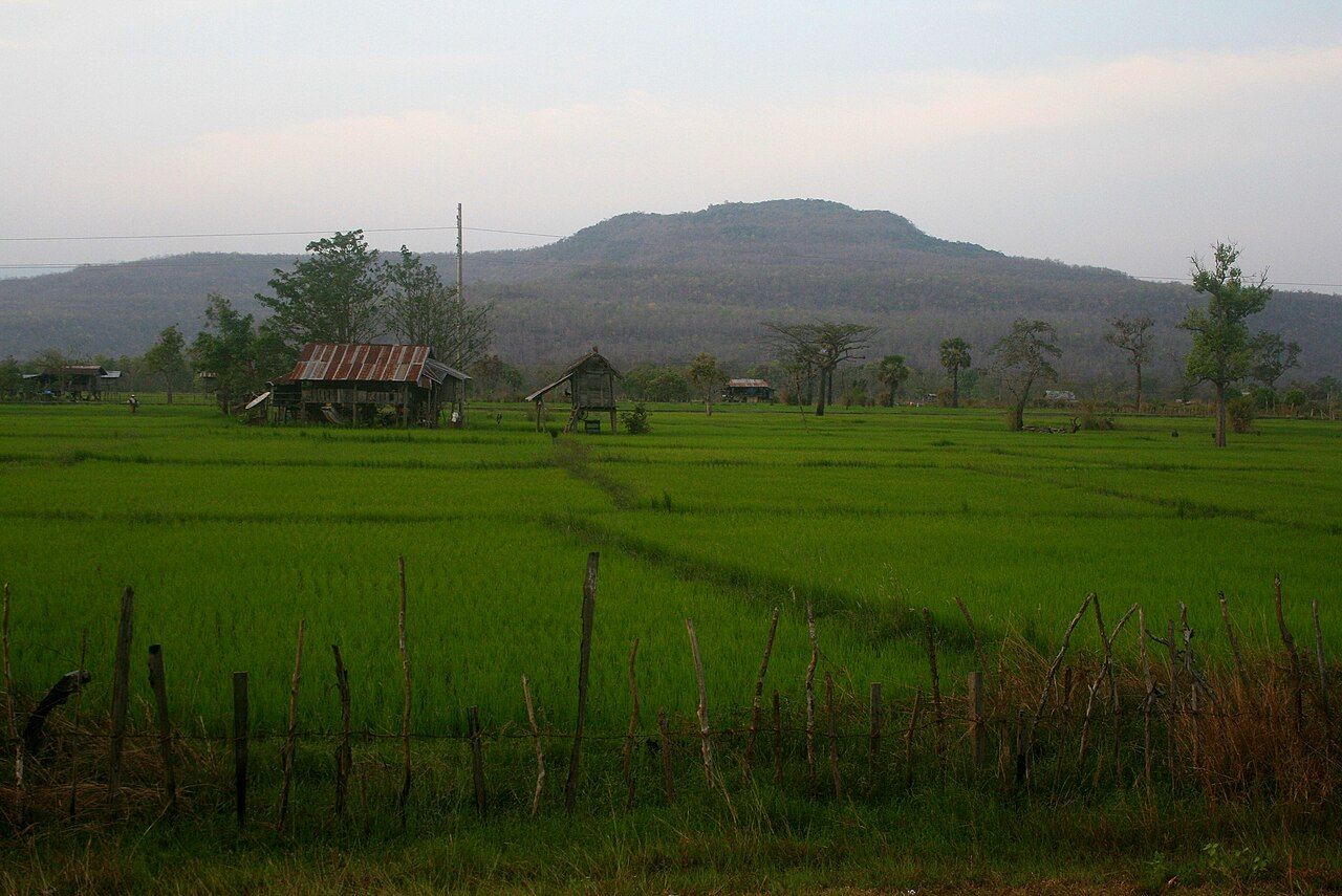

Most riders take four to six days for the big loop.
By the time the route climbs back over the plateau, the eastern edge is no longer a blank strip on the paper map. It has Sekong, Attapeu, the Xe Kong, and the Xe Kaman on it. The map still folds shut at the same creases. The loop just takes up more room in the mind.