East to Sekong and Attapeu
A plain route through two remote provinces: follow the Xe Kong, learn the names and histories that shape the east, and take in the newer roads and changed landscape.
- From Pakse
- About 4 hours by road
- At its best
- Dry season
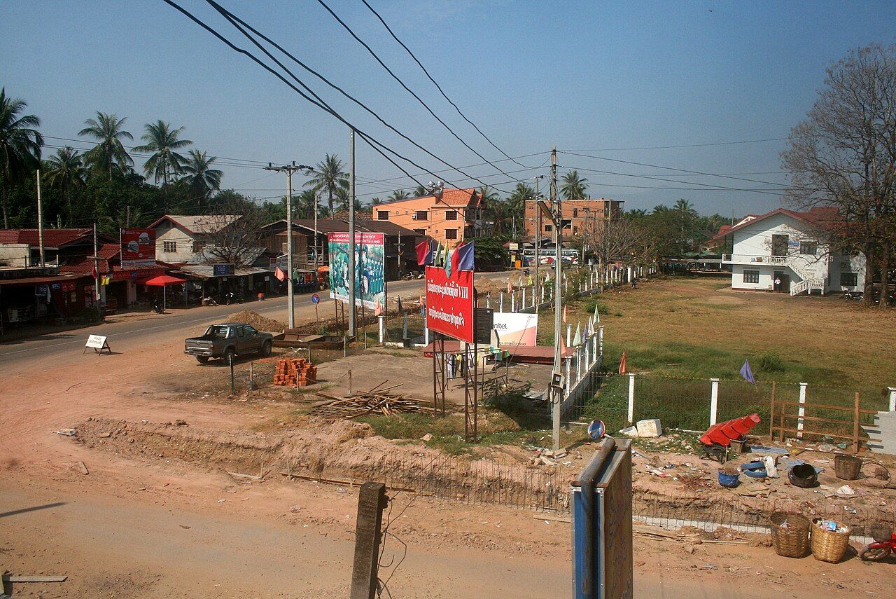
On a paper map, the east can look like an empty margin. I don’t trust that impression. Start with the Xe Kong: it runs south through Sekong and Attapeu, then into Cambodia, where it joins the Mekong. That line gives the journey its shape. The rest takes a little more patience.
Begin by placing Sekong province in the picture. It was created in 1984 and is one of the least populated provinces in Laos. Sekong town, its provincial capital, lies on the Xe Kong river. Keep those two names straight as you go: Sekong is both the province and its capital town. The river is the useful thread between them, and beyond them. Round here, a map makes the east look simple; the names remind us it isn’t quite so simple.
Next, follow the Xe Kong south in your mind. It passes through both provinces before reaching Cambodia and joining the Mekong. The river is the simplest line to follow across both provinces. That is not the same as saying it tells the whole story. Still, when the place names and the long provincial outlines start to crowd the page, the river gives the journey a direction. Keep that southward line in view as you move from Sekong towards Attapeu.
The river is the simplest line to follow across both provinces.
Make room for the people as well as the geography. Many of the peoples of Sekong province speak Mon-Khmer languages, including Katu, Alak and Ta Oy. Those names belong in the picture of the province, not in a footnote beneath it. They are not a checklist. Just know that Sekong is home to distinct peoples and languages, and that a short map label can’t hold all of that. It’s worth taking the names slowly.
Then set the wartime history alongside the landscape. Sekong and Attapeu lie along the route of the Ho Chi Minh Trail and were heavily bombed. For the wider wartime geography, keep in view the supply route that ran through these hills. The trail’s route and the bombing are part of the story of both provinces. They are not a small aside on the way to the next view. Take that history with you as you read the land; a road journey does not explain it all.
After that, notice how much the landscape has changed. Large hydropower dams and plantations have altered much of Sekong and Attapeu since the 2000s. That is a broad change across two provinces, not a detail to pin on a single town. Keep the phrasing broad, too: much of the landscape has changed, not all of it. The east holds more than one kind of story at once, and the river, the wartime route and the newer changes all belong in the same account.
As you turn towards Attapeu, get the names in order. Attapeu province borders both Vietnam and Cambodia. Its capital is Samakkhixay, usually called Attapeu town. The town has wide streets lined with trees and gardens. That description gives a clear first impression, but it shouldn’t be made to stand for the whole province. Attapeu is the province; Attapeu town is its capital. It’s an easy distinction to lose in conversation, and an easy one to keep once you’ve got it straight.
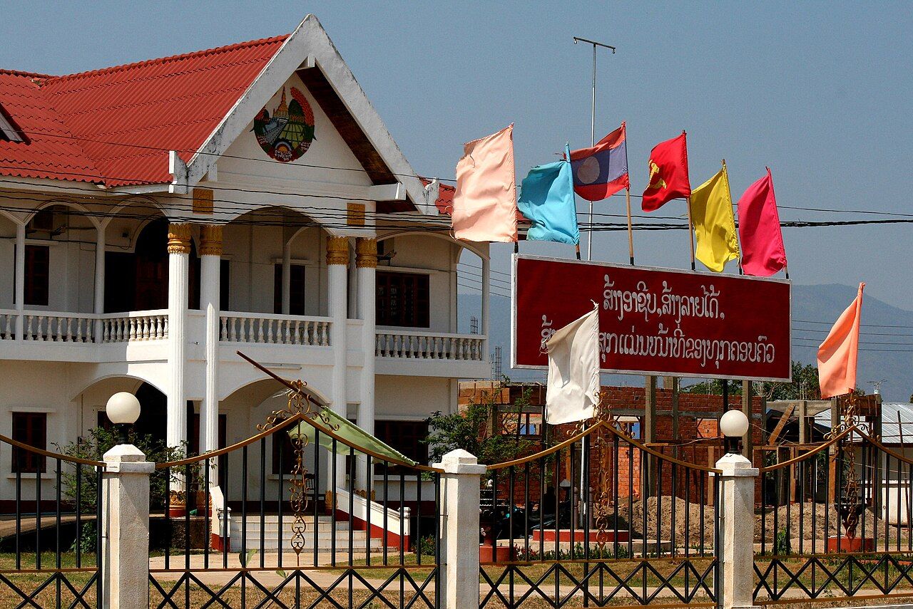

From Pakse, the road journey is about 4 hours. The fact box sets this story in the dry season. Hold those practical points alongside the geography, rather than letting them take over the story. The distance on a page can feel abstract; the names, river and direction give it some shape. The east is remote, but it is not a blank stretch between better-known places.
For the road towards Vietnam, look to Route 18B. It links Attapeu with the Vietnamese border at Phou Keua. That gives the route a clear endpoint on the map. Keep the claim to what it is: Route 18B links Attapeu with that border crossing. The new roads belong to a landscape already changed by large dams and plantations, and the older history remains part of the same ground. One line on a map doesn’t cancel out the others.
Before you finish, hold the main pieces together: Sekong and Attapeu, the Xe Kong running south, the peoples and languages of Sekong, the heavily bombed trail route, and Route 18B at the Vietnamese border. It’s a lot for one paper map. But these are not separate stories laid neatly side by side. They meet in the two provinces, where the river keeps its course south through the names and the changed landscape.
And the closing picture is a simple one. The Xe Kong runs south through Sekong and Attapeu, on towards Cambodia and the Mekong. On the map, the line is still there. The east takes a little longer to read than that line suggests.