Xe Pian: wetlands and forest in the south
A broad protected area of wetlands, forests and villages, where the Xe Pian river runs through landscapes shared with birds, elephants and local livelihoods.
- From Pakse
- About 1 hour 30 minutes
- At its best
- Dry season
The paper map encourages a neat outline: Xe Pian inside two provinces, then stretching south to a border. But the name does not describe a single landscape. Round here, that is the useful starting point: wetlands, forests, villages and a river, all within a large protected area.
Xe Pian was declared a National Protected Area in 1993. It covers about 2,400 square kilometres in Champasak and Attapeu provinces, and extends south to the Cambodian border. Those figures give the broad shape, not a single view. There is room here for wetlands, lowland evergreen forest and dry dipterocarp forest. The area’s size leaves a tidy little summary feeling inadequate. The map’s outline is clear enough; what sits inside it is more varied.
The protected area takes its name from the Xe Pian river, which flows through it. That is a good name to keep in mind, since Xe Pian is not just a stretch of forest or a wetland on its own. The river belongs in the picture too. Its name ties the place together without making all the land around it sound the same. Wetlands and forest sit within the same protected area.
Kiet Ngong village lies beside a large wetland on Xe Pian’s northern edge, where the marsh at the park's northern edge gives that part of the area its plainest description. It is a useful way to think about Xe Pian: the protected area has a northern edge with a village beside a large wetland, and its reach continues south to the Cambodian border. The marsh is not the whole story, but it makes the wetland landscape easy to place in the larger picture.
Wetland is only one part of the mix. Xe Pian contains lowland evergreen forest and dry dipterocarp forest as well. Keeping those landscape names in view matters; otherwise, “the forest” can turn into a vague catch-all. Here, there are two named forest types alongside the wetlands. The descriptions are plain, which suits the place. No grand language needed. A paper map can mark the protected area, but it cannot make those different landscapes into the same thing.
Birds recorded in Xe Pian include hornbills, storks and other large waterbirds. That list brings the wetlands and forest into the same account without pretending they are interchangeable. There are large waterbirds in the record, and hornbills too. For a place often summed up by its size or its forests, birds offer another thread to follow. Not a checklist for a visit, just a reminder that Xe Pian’s habitats are part of the story, not scenery behind it.
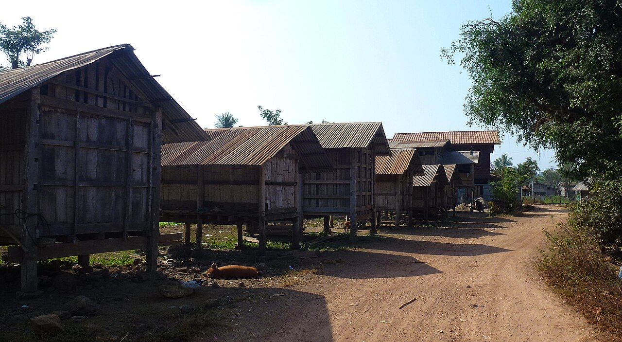
Several villages inside or beside Xe Pian depend on fishing, rice and forest gathering. That belongs near the centre of any account of the protected area. The wetlands and forests are not separate from village life; fishing, rice and gathering are part of how people depend on the land around them. Village-based visits, spoken of generally, fit better with that picture than a story focused only on the area’s size. The villages are part of Xe Pian, not a footnote to it.
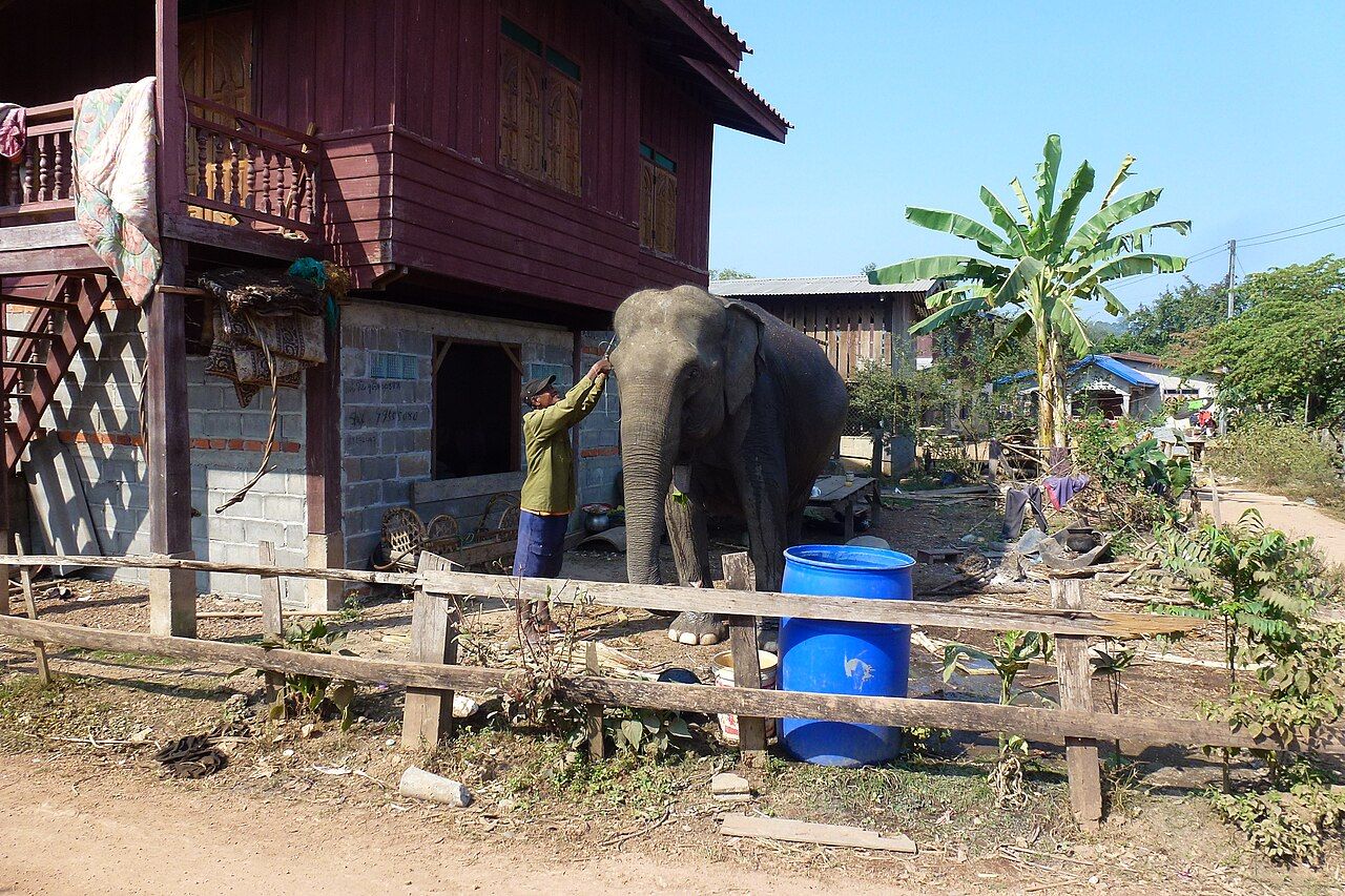
Domestic elephants are still kept in some villages near Xe Pian. Their presence also connects with an older name for Laos: historically, it was known as Lan Xang, the “land of a million elephants”. That history gives the subject a wider frame, but the present-day fact is specific: domestic elephants remain in some villages near the protected area. The story here is their presence, not elephant riding. It is enough to hold those details together without turning elephants into a ride or a symbol for the whole place.
A village-based visit belongs in the same broad account as the wetland, the forest and the river. The facts are simple: villages lie inside or beside Xe Pian, and several depend on fishing, rice and forest gathering. Those facts are enough; a visit need not be dressed up beyond them. The place is shaped by those ordinary connections, as well as by its protected-area boundary. On the paper map, the lines fold back over the name; the wetlands, forest and village life remain part of the same landscape.
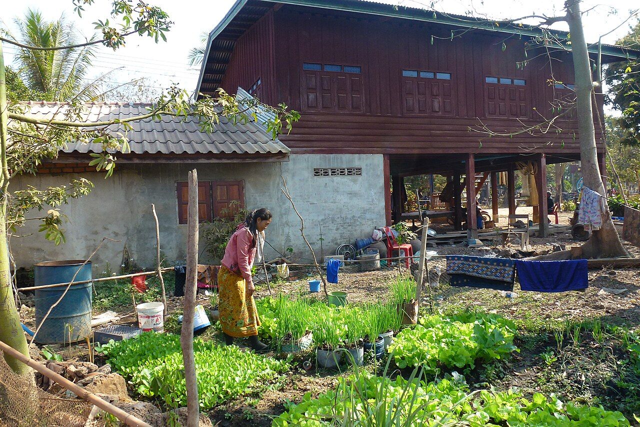

Xe Pian is easier to hold in mind as a set of connected places than as a single view: a river through the protected area, wetland beside Kiet Ngong, forest and villages farther across its reach. The map closes on its creases. The name stays open.

Wetlands and forest sit within the same protected area.