The Bolaven loop by motorbike
A plain route guide for the ride from Pakse: the shorter circuit, the longer eastern stretch, fuel, road surfaces and the hazards worth keeping in mind.
- From Pakse
- Starts in Pakse
- At its best
- Dry season
From Pakse, Route 16 climbs east towards Paksong and the plateau opens into a circuit you can ride in either direction. The roads do the choosing only up to a point. After that, it comes down to distance, fuel and which falls you want to reach first. Round here, the paper map earns its keep mostly by stopping the discussion from going in circles.
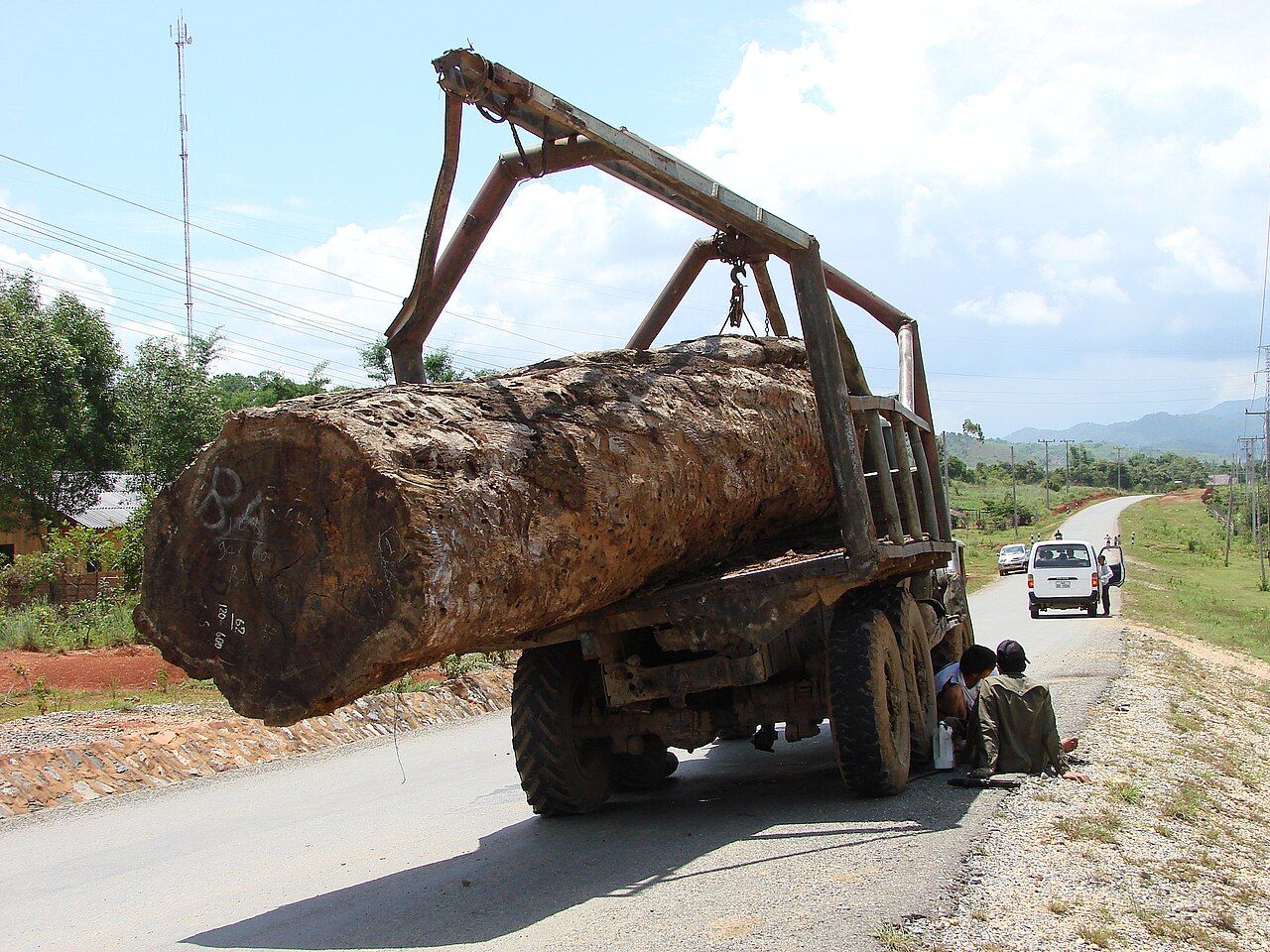

The loop is a circuit from Pakse, and the choice of direction mostly changes which falls arrive first.
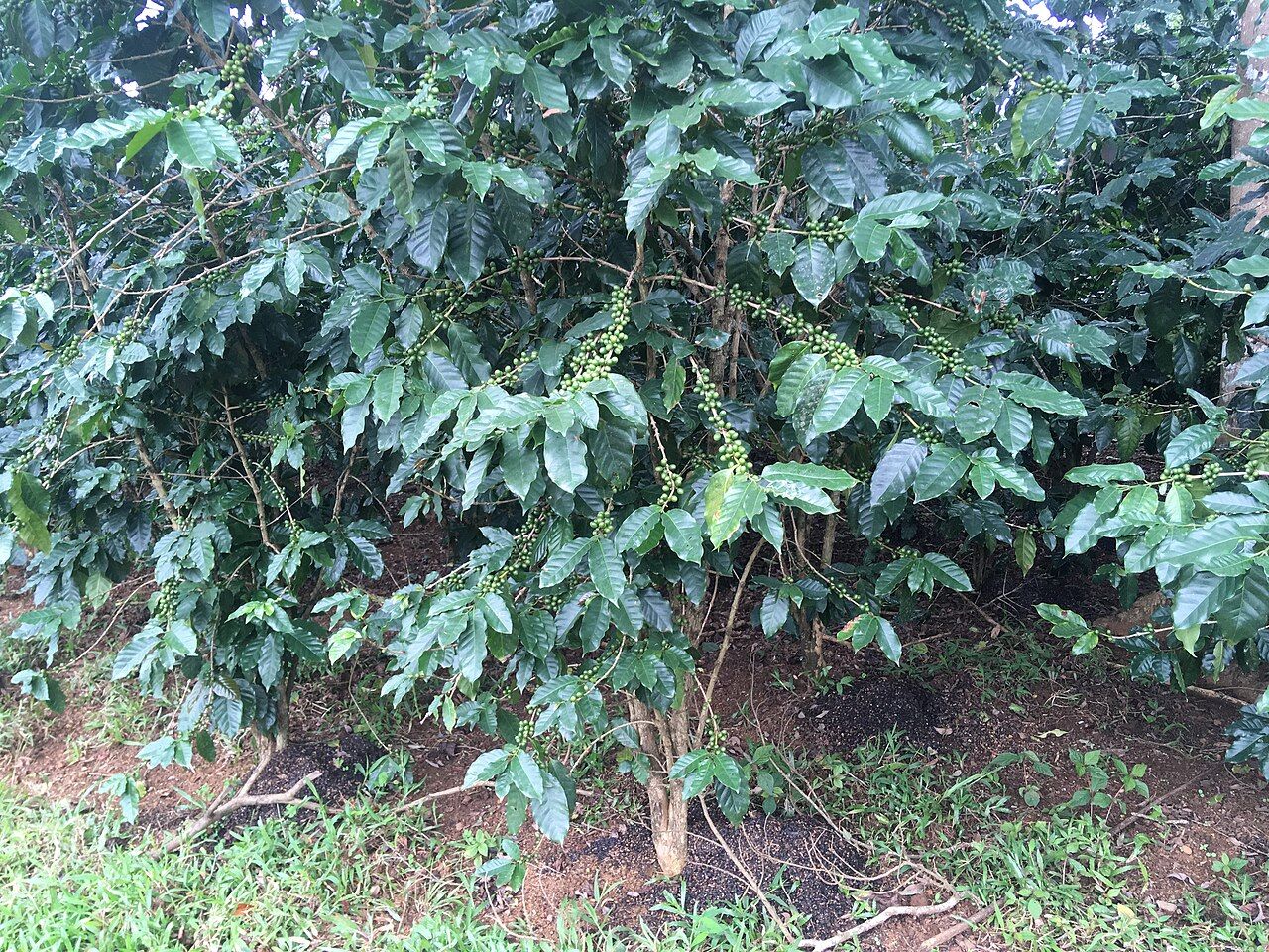

The loop is a circuit from Pakse, and the choice of direction mostly changes which falls arrive first.
Choose the size of the circuit. The small loop links Pakse, Paksong, Thateng and Tad Lo, about 220 km in all. The big loop adds Sekong and Attapeu and runs to roughly 450 km. Both are usually ridden over two to four days. The smaller route keeps the ride compact; the larger one takes the circuit farther east. There is no puzzle to solve in the names. Pick the distance that suits the days available, then keep the map handy for the route between towns.
Know the climb out of Pakse. Route 16 heads east from Pakse to Paksong, climbing onto the plateau. Route 20 links Pakse with Salavan, passing Tad Lo. Those roads give the ride its basic shape, while the small loop connects Paksong, Thateng and Tad Lo. A three-day version of the ride is laid out in a three-day version of the ride. It is a useful next read if the smaller circuit is the one on the map.
Pick a direction, not a grand theory. Clockwise and anticlockwise both work. The choice mostly decides which falls come first, not whether the loop can be done. The decision is simple; a ride with enough roads and distance does not need a complicated rule for getting round. The paper map can have its say, then the route can be set. Keep the place names straight: the small circuit runs through Paksong, Thateng and Tad Lo, while the big one adds Sekong and Attapeu.
Think about fuel before the empty stretches. Fuel stations are common in the towns of the plateau, but sparse on the remote eastern stretches. That difference matters more on the big loop, which goes out through Sekong and Attapeu. Fill up in a town rather than treating the next station as a certainty once the road heads into the remote east. It is a plain bit of planning, and a better use for the map than trying to make it tell you which way to ride.
Expect pavement, potholes and gravel together. Most of the main loop roads are paved, but potholes and gravel sections are common. That mix is the road itself, not a reason to assume every stretch will feel alike. I prefer a route where the surface is easy to read, and this one asks for attention instead. Leave room for the rough patches and take the road as it comes. The loop is still a circuit, not a promise of smooth pavement from Pakse and back.
Give the road its space. Buffalo, cattle, dogs and children on the road are common hazards on the plateau. They are part of the riding conditions to account for, not surprises to build a plan around. Traffic in Laos drives on the right, so keep that in mind as the route moves between towns and across the plateau. A motorbike ride asks for steady attention; this one has enough changes in road surface and traffic to keep that attention occupied.
Rain changes the feel of the ride. In the wet season, rain on the plateau can be heavy and sudden, and roads turn slippery. That is the part of the year when the road itself deserves more thought than the neat line on a map. The fact box puts this ride in the dry season; the wet-season conditions are worth knowing all the same. I am not fond of slippery roads. It is a simple dislike, and one the plateau does not need to apologize for.
Ride legally, then keep the plan plain. Riding a motorbike in Laos requires a licence, and helmets are compulsory. With those basics in place, the route is a choice between the small loop of about 220 km and the big loop of roughly 450 km, both usually ridden over two to four days. Fuel is easier to find in plateau towns than on the remote eastern stretches. Roads are mostly paved, with potholes and gravel common. That is the loop in a nutshell, minus the arguing over the map.
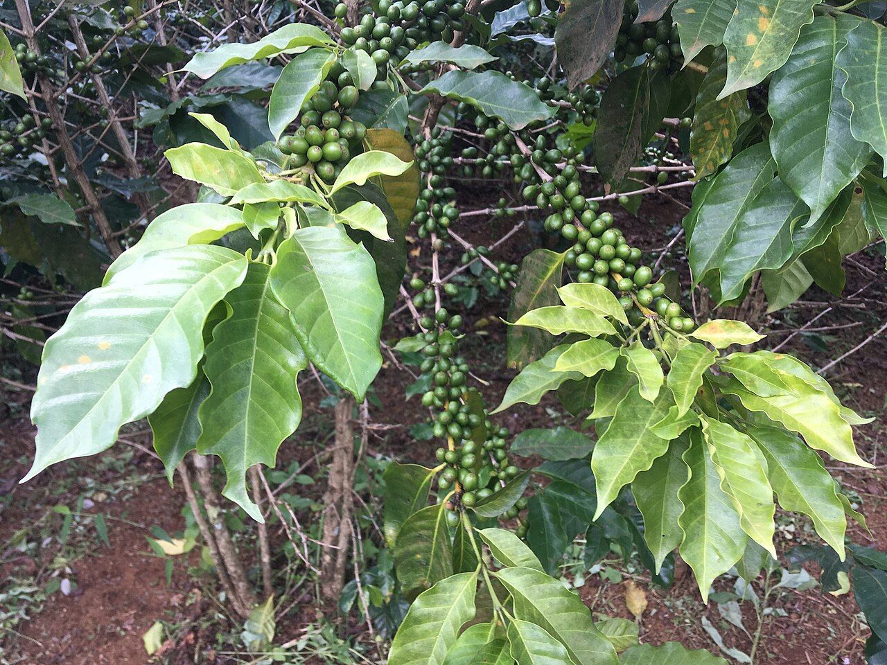

For another route through this part of the plateau, read the story on Salavan.