Khone Phapheng: Where the Mekong Meets Its Barrier
A practical way to read the great falls at Si Phan Don: find the east-bank platforms, take in the scale, and keep the river’s history in view.
- From Pakse
- About 2 hours 30 minutes
- At its best
- Late rains
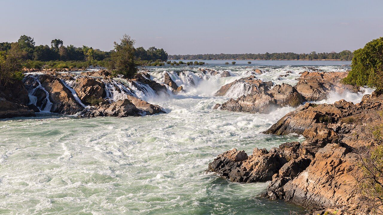
Begin with the water. At Khone Phapheng, the Mekong breaks over a run of cascades at the southern end of Si Phan Don. The scale takes a moment to settle in: this is the largest waterfall in Southeast Asia by volume, and the whole Khone Falls system stretches nearly 10 km across the river. A paper map can show the outline. It can’t make the falls look small, which is probably for the best. The number for the height is easy to remember; the length across the river is harder to picture. I find it helps to hold both measures together before moving on: one describes the drop, the other the reach of the falls.
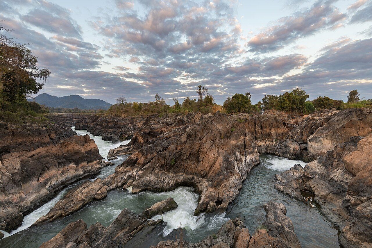

Start by placing the falls on the map. Khone Phapheng lies just north of the Cambodian border, at the southern end of Si Phan Don. That puts the river, the falls and the islands in the same picture. The border is close; the water is the main feature. Round here, the useful thing is knowing that Khone Phapheng names a waterfall, while Khone Falls refers to a system extending across the Mekong.
Allow about 2 hours 30 minutes from Pakse. That gives the journey a place in the day without pretending the falls are a quick glance from town. The setting matters before the view does: the Mekong is meeting a long stretch of cascades, not dropping over a single ledge. Keep that in mind on the way in. The map’s tidy line for the river is no match for the real width of this place.
Use the viewing platforms on the east bank for the main cascades. They look out over the central part of the show, and that is where I’d begin. A viewpoint can help put a broad landscape into focus; here, it also makes clear that the main cascades are only part of a much larger system. I like this view because it gives the falls room to be a river, not just a dramatic edge.
Take in the height, then think about the breadth. Khone Phapheng drops about 21 metres over a series of cascades. The whole Khone Falls system stretches nearly 10 km across the Mekong. The falls are not a narrow interruption; the whole system runs nearly 10 km across the Mekong. That difference is the important part. The drop is striking, but the spread across the river explains why the landscape feels so thoroughly shaped by water.
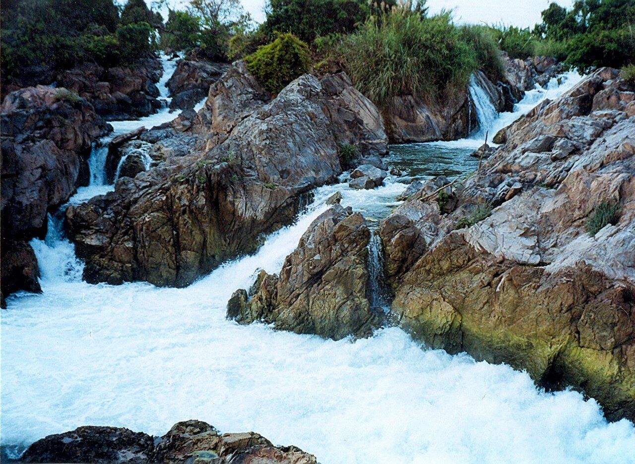

The falls are not a narrow interruption; the whole system runs nearly 10 km across the Mekong.
Keep the river’s shipping history in view. Khone Phapheng is the main reason the Mekong cannot be navigated by ship from the sea into Laos. This is not a small detail tucked beside the scenery. The falls are a barrier in the course of the river, with consequences for how far ships can travel. The Mekong River Commission was set up in 1995 by Cambodia, Laos, Thailand and Vietnam to manage the shared river. Even the map’s blue line has its limits.
Think about the water through the year, but keep the wording careful. Flow over Khone Phapheng is highest in August and September, in the late rains. August is a particularly useful month to picture the falls at full flow: there is more water coming through the cascades. The scale is here in every season, but the amount of water is not fixed. That’s a simple distinction, and a good one to carry along while looking out from the east bank.
Look towards the rocks at the edges, too. Fishermen set traps and nets among them. The edge of the falls is not only a line between water and land; it is also part of the working river. The traps and nets belong to the picture, alongside the cascades and the broader sweep of the Mekong. It is a plain reminder that this is a working stretch of river as well as a great fall of water.
Leave room for the rest of Si Phan Don in the plan. Khone Phapheng is one part of the southern end of the islands, and the scale of the falls gives a good reason to look beyond a single platform view. For another side of the island, read about the wilder falls on the island's far side. Keep the paper map handy; it’s a fine companion, even if its version of a 10 km river system is less convincing than the real thing.