The small loop in three days
A three-day account of the small loop: the climb from Pakse, coffee farms and villages north of Paksong, the descent to Tad Lo, and the return on Route 20.
- From Pakse
- Starts in Pakse
- At its best
- November to February
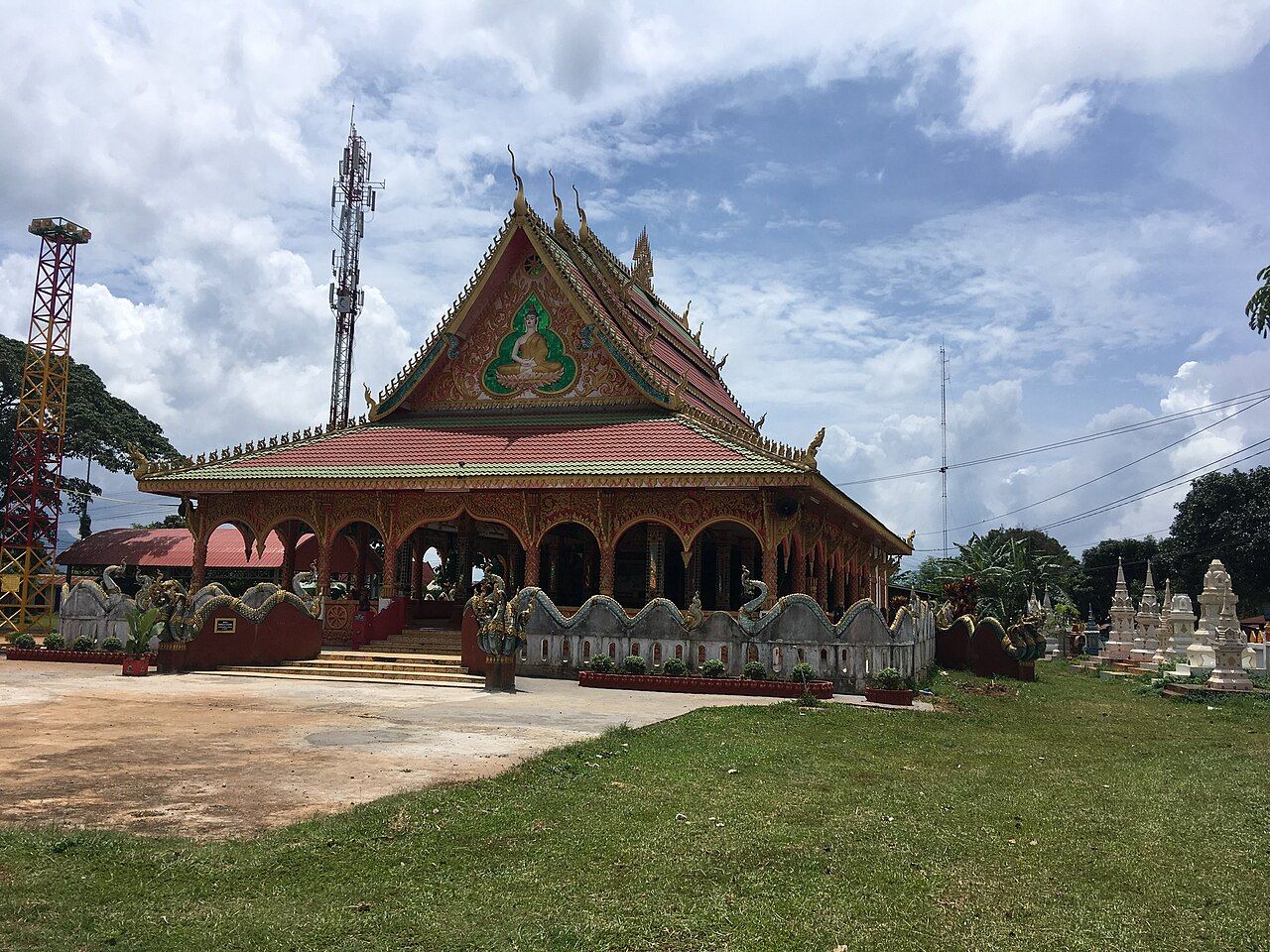
I keep the small loop straight in my head by its shape on the dog-eared paper map: up from Pakse, across the plateau, then back down. It is a tidy line, but the riding has three different moods. The useful thing about the small loop is its shape: out, north, then back down.
Day one starts in Pakse and usually follows Route 16 toward the falls near Paksong. The road climbs steadily from the Mekong plain onto the plateau. That steady rise sets the tone for the route. The map may draw one clean line, but the land gives the day its own pace. Round here, I like a route that tells you where it is going without making a show of it. This one goes up, mile after mile, toward the plateau.
The falls are part of that first day’s direction, near Paksong. Keep the shape of the day simple: out of Pakse, up Route 16, then on toward the falls and Paksong. Most days on the small loop involve about 60 to 100 km of riding, so there is a useful amount of ground to cover without needing to turn every stretch into a separate mission. The climb is the main character here. No need to pretend the road is flat just because the route looks small on paper.
Paksong makes the turn between the first and second days. From there, the route heads north toward Thateng. This is where the feel of the loop changes: the climb from Pakse is behind you, and the road north passes coffee farms and villages. I have a soft spot for a day that changes its scenery by changing direction. The small loop does that plainly. It does not need another detour or a grand plan layered over it. North is enough.
Day two is the northbound day, with coffee farms and villages along the road from Paksong to Thateng. Those are the details that make this leg distinct from the first day’s long climb. Take the route as a connecting stretch, not a race between named points. The little loop works because it keeps moving: Paksong, the road north, then Thateng. For the paper map, that is a short instruction. For the day, it is the whole arrangement. Coffee farms, villages, and a change of direction; a good plain sequence.
Thateng is a small market town at a junction of roads in Sekong province. It is the little junction town in the middle, which is a handy way to remember its place in the loop. From there the road to Tad Lo descends toward the Xe Set valley. The direction matters. After the plateau, the route turns down, and day two carries on into that descent. I like this change more than a day of riding that keeps asking for the same thing. Here, the road has moved on from the climb.
Tad Lo is the day-two destination, and the descent toward the Xe Set valley gives this leg its shape. It is tempting to think of the middle day as merely the bridge between Paksong and the return south, but that misses the point. First the road passes coffee farms and villages; then it reaches Thateng’s junction; then it drops toward the valley. A small loop does not have to be a small story. This is the part that shifts the route from plateau riding toward the return down to Pakse.
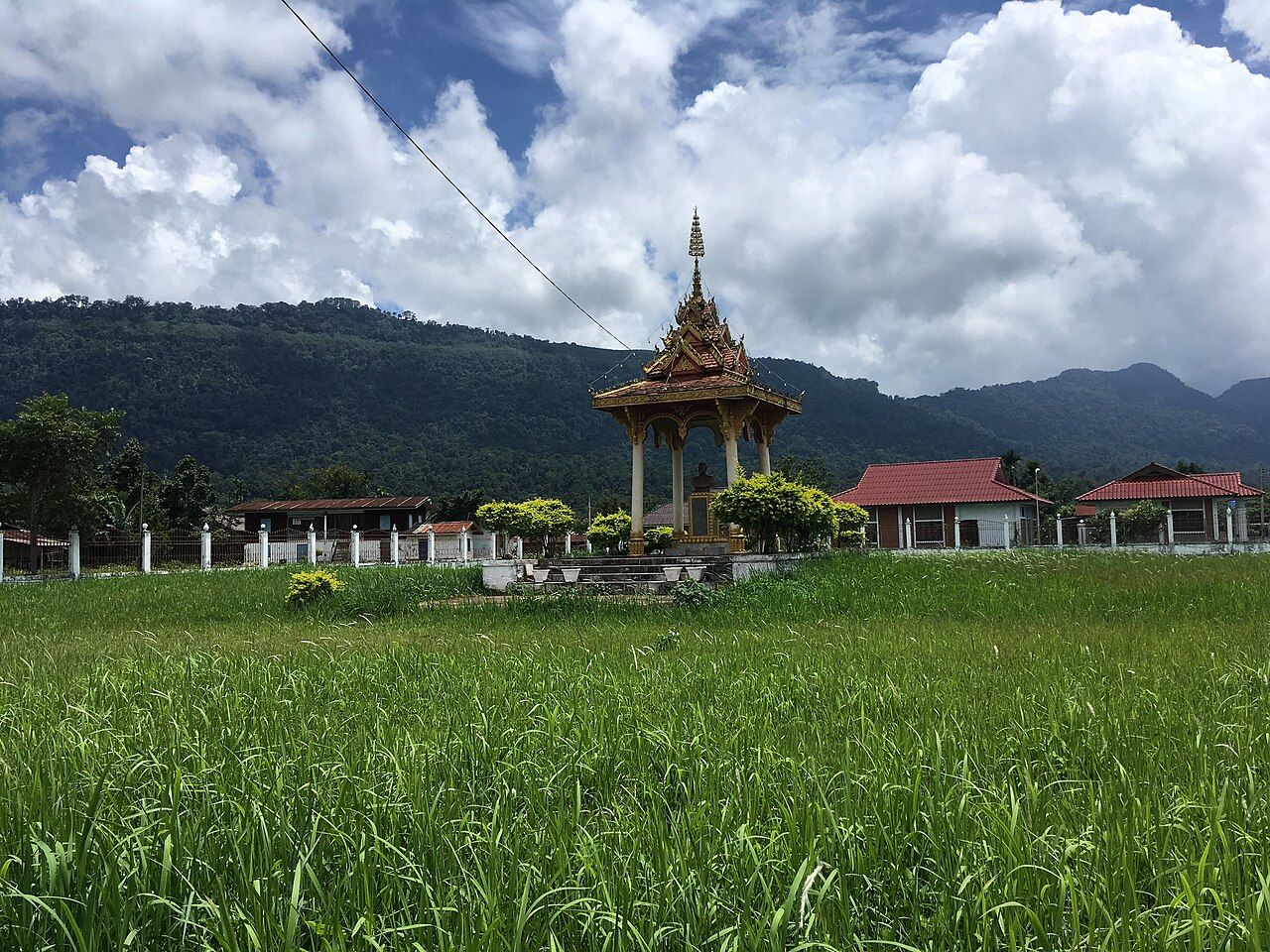

Day three returns from Tad Lo to Pakse on Route 20. The road passes Lao Ngam and drops off the plateau to the lowlands. That is the whole shape of the final day: start at Tad Lo, pass Lao Ngam, and follow Route 20 down to Pakse. Most days on the loop involve about 60 to 100 km of riding, so keep that general scale in mind rather than inventing a precise distance for each day. The route is short in the larger sense, but it still has a climb, a northbound leg, and a descent home.
There is one practical detail I would not brush aside: riding after dark on the plateau roads is risky because of unlit livestock and potholes. It is a good reason to treat daylight as part of the route, not an optional extra. That matters especially when the first day climbs steadily and the next day still has ground to cover. The small loop is at its best when its three days stay distinct: up to the falls and Paksong, north to Thateng and Tad Lo, then down Route 20. On the dog-eared paper map, the line closes in Pakse. A neat little loop, and there it is.
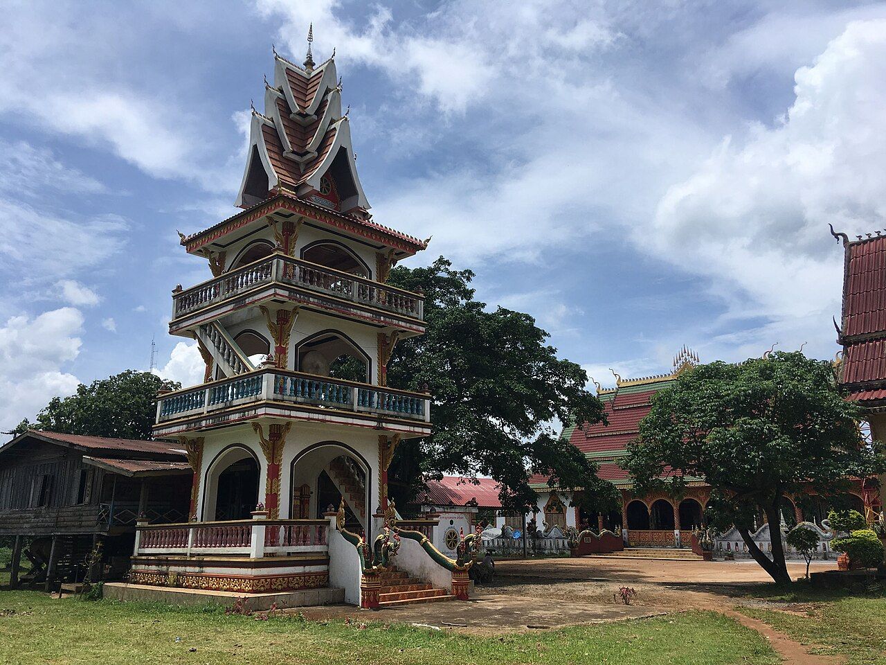

The useful thing about the small loop is its shape: out, north, then back down.