Kiet Ngong and the Marsh at Xe Pian’s Edge
A day’s way into the wetland and village, from dry-season waterbirds to rice and fishing, with Phou Asa beyond and the shape of the marsh changing with the season.
- From Pakse
- About 1 hour 30 minutes
- At its best
- Dry season
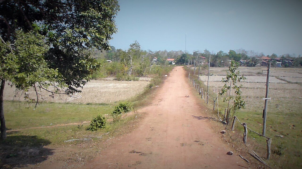
Kiet Ngong is one of those names that seems to point first to a village, then makes room for a much larger landscape. The village lies a short way off Route 18, east of Route 13. Beyond it, Beung Kiat Ngong spreads along the northern edge of Xe Pian. Start the day with those two scales in mind: a village, and a wetland broad enough to have its own seasonal character.
In the morning, the dry-season wetland is a place to look for waterbirds. They gather here in this season, though the gathering itself is clear without counting or naming the birds. The gathering itself matters. It gives the marsh a presence that is easy to miss if the place is treated as only a point beside a road. Round here, the land is doing more than one thing at once.
Beung Kiat Ngong is a peat swamp and marsh. In the wet season, it has open water. That change belongs at the centre of any account of the place. The dry season brings the birds together; the wet season brings open water. Same wetland, different shape. A marsh is not obliged to hold still for a neat description, which is perhaps why paper maps always seem a little too confident.
That seasonal difference is worth carrying through the day. Open water belongs to the wet season; waterbirds gather in the dry season. The wetland is described by both, not just the condition that happens to be in view.
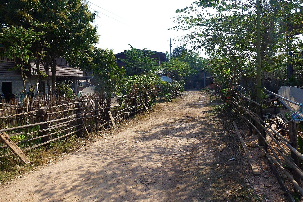

As the day moves on, the village comes back into the picture. Villagers at Kiet Ngong fish and grow rice around the wetland. These are not separate stories, one about nature and another about work. The wetland is not separate from village life. Fishing and rice-growing are part of how the place is lived in, and the marsh is not simply scenery behind them.
The wetland is not separate from village life.
There is a useful plainness to that relationship. The wetland has a name and a place at the edge of Xe Pian, but it is also part of the ground around a village. Fish, rice, marsh, and open water in the wet season belong in the same account. It is tempting to make the birds the whole story because they gather in such a visible way. They are a strong part of it, not the only part.
Beyond the wetland is Phou Asa, the hill with the stone ruin on the hilltop nearby. It gives the day another direction to look. From the marsh, the story does not end at the water’s edge; the land continues towards the hill. The view is a reminder that Kiet Ngong sits at a meeting of places: village, wetland, the northern edge of Xe Pian, and the hill beyond. For more on the ruin, follow the stone ruin on the hilltop nearby.

By the middle of the day, it is worth keeping the seasonal details straight. Open water belongs to the wet season. Waterbirds gather on the wetland in the dry season. Those facts are simple, but swapping them around would give the wrong sense of the place. The marsh changes its face; the village remains part of its edge. No grand explanation needed.
The wetland also has a place in a much wider story. Beung Kiat Ngong was designated a Wetland of International Importance under the Ramsar Convention in 2010. Laos joined the Ramsar Convention in 2010 with two sites: Beung Kiat Ngong and Xe Champhone. That’s a short line of history beside a landscape that can feel much larger than a line on a page.
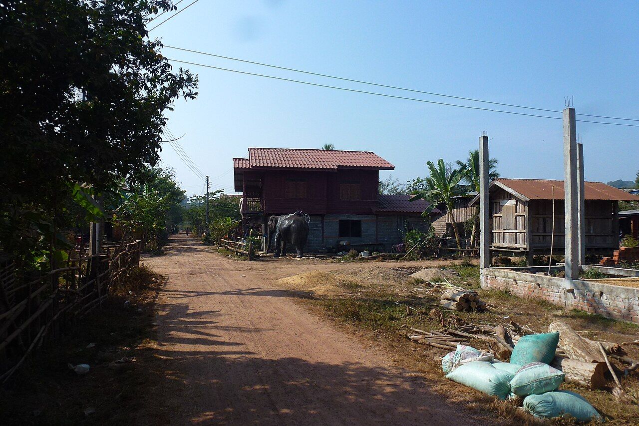
There is another older thread here, too. Elephants from Kiet Ngong were traditionally used for logging and transport. The wording matters: traditionally used. It belongs to the history of the village, not a claim about what happens now. Set beside fishing and rice-growing, it adds another way people have been connected to this landscape. Different work, same place at the edge of the marsh.
By evening, the day’s route through Kiet Ngong can come back to its starting point: village, wetland, hill beyond. The waterbirds gather in the dry season; open water comes in the wet. The villagers fish and grow rice around the marsh. Beung Kiat Ngong has international recognition, but its local outline is just as clear in those everyday ties. There is another story from this part of the map just beyond this one.