The Southern Laos Year, Month by Month
Rain, cooler dry months and April heat set the broad rhythm in the south, while the Mekong rises and falls on its own seasonal calendar.
- At its best
- All year
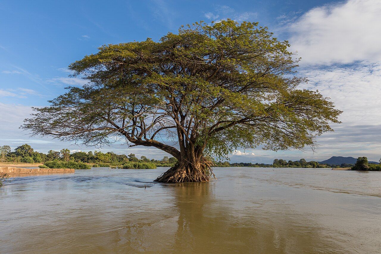
April is the hinge in the southern Laos year. The Mekong is near its lowest, the lowlands can be above 35 degrees Celsius, and smoke from field burning can haze the air. Then mid-April brings Pi Mai and its water throwing. A lot fits into one hot month.
The wet season brings rain from around May through October. Rain is the plain marker of this stretch of the year. It gives the falls and roads their broad weather setting, but not a day-by-day reading of waterfall flow or road surface. Round here, the calendar is a useful frame, not a weather report for every bend in it.
From about November to February, southern Laos has its cool, dry months. That is the cooler part of the year across the south. The Bolaven Plateau runs several degrees cooler than Pakse year-round, so the difference holds through these months too. Our paper map can mark a route; it has never managed to mark a temperature.
March and April are the hottest months. In the lowlands, temperatures are often above 35 degrees Celsius. The heat is a broad regional fact, while the Plateau stays several degrees cooler than Pakse year-round. It is a simple contrast to keep in mind: same season, different temperatures between the lowlands and the higher ground.
Smoke from field burning can haze the air across southern Laos in March and April. It is not a certainty for every day, but it belongs to the picture of these hot months. Rain, cooler dry weather, heat and haze give the year its broad pattern; the falls and roads sit within that pattern without a single seasonal number to describe them.
The Mekong has a clear seasonal swing. It is at its lowest around April, then reaches its highest around August and September. That puts the river’s high point within the wet-season stretch, and its low point in the hottest part of the year. The river is a steady calendar to follow, even as the months change around it.
Mid-April is also when Lao New Year, Pi Mai, is celebrated with water throwing. It lands in the hottest months, at the point where the Mekong is around its lowest. The name of the season may be dry, but water is very much part of this particular bit of the year.
At the end of Buddhist Lent in October, Boun Ok Phansa is marked with boat races and floating lanterns. October sits at the end of the wet season. The year turns towards the cool, dry months, though the seasons are broad divisions, not a sharp line on the paper map.
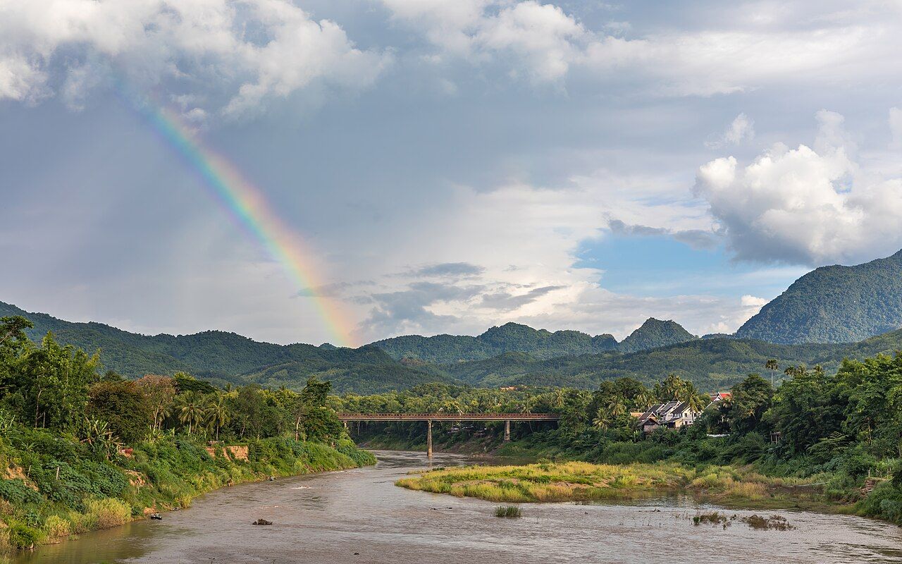

Southern Laos has a tropical monsoon climate, with wet and dry seasons shaping the year.
By mid-April, the low Mekong and the heat set the scene; Pi Mai adds water throwing to the month. Then the year moves on, one season at a time.