Reaching Pakse and Moving Around the South
Flights, sleeper buses and local rides all meet in the same practical question: which way through the south are you heading?
- From Pakse
- In Pakse
- At its best
- Any season
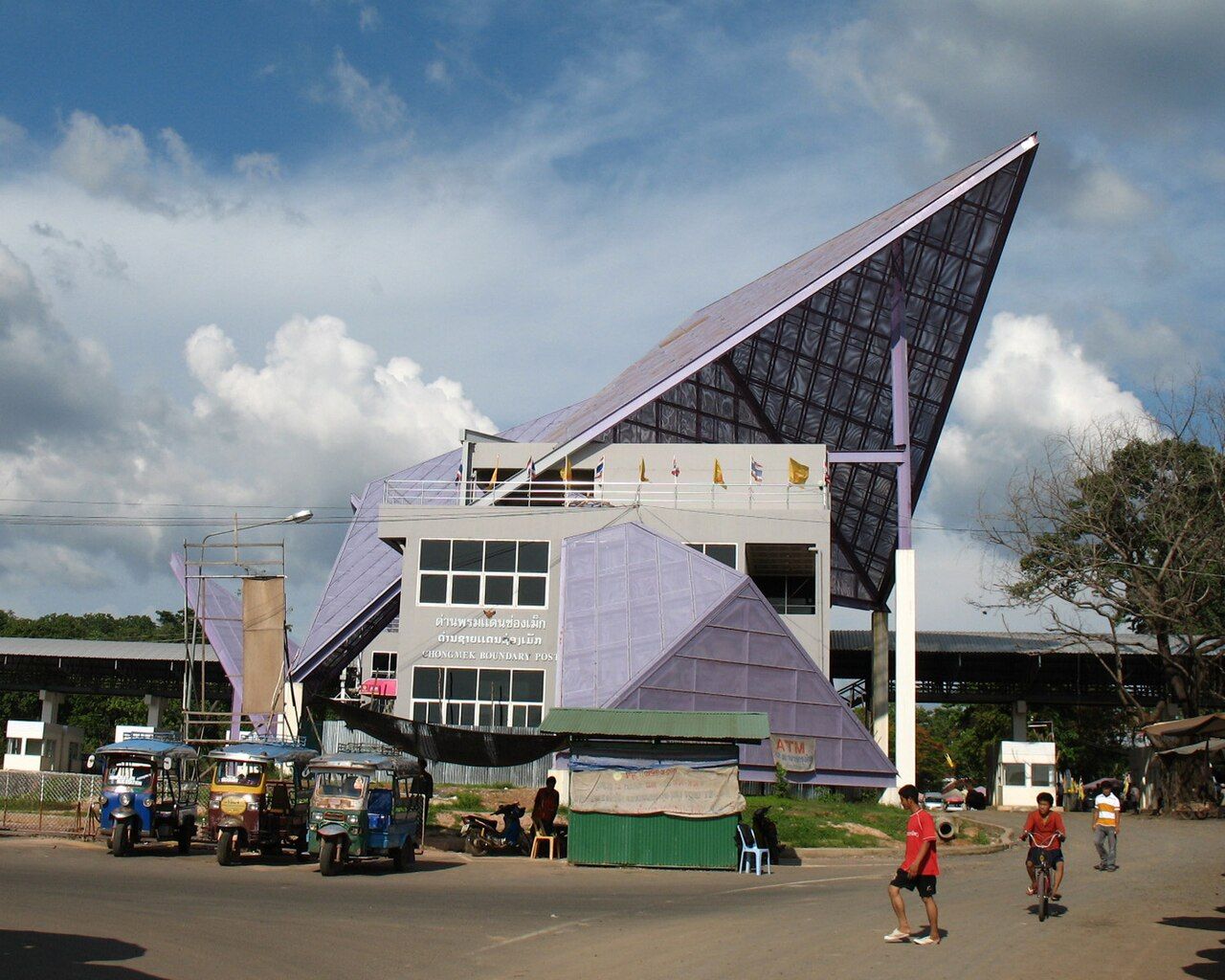
Start with Pakse on the map, then follow the route that brings you in. From Vientiane, the road runs south along Route 13. Beyond Pakse, that same road points toward Si Phan Don and the Cambodian border. It gives the trip a plain shape: arrive, get your bearings, then choose how to carry on. The road connection and the air connection are different ways into the same starting point. Keep Pakse in mind as the place where the next leg gets sorted.

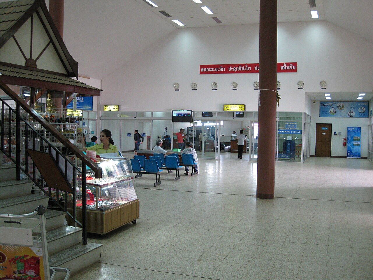
For an arrival by air, Pakse International Airport has domestic flights to Vientiane and some international routes. That’s the straightforward choice if your route lines up with a flight. Pakse has some international routes alongside domestic flights to Vientiane. Air gets you into Pakse; from there, the direction of your next leg matters more than the arrival method.
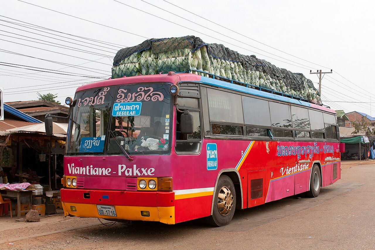
For the road from Vientiane, overnight sleeper buses run between the two cities. The journey takes about 10 to 12 hours, and Pakse lies roughly 650 km south of Vientiane by road along Route 13. That’s a substantial stretch. The sleeper bus puts the travel into one overnight leg, rather than a series of short hops. Route 13 also gives the journey a clear line on the map, continuing south from Pakse toward Si Phan Don and the Cambodian border.
Once you’re in Pakse, keep the bus-station detail in mind: there are separate stations for routes north and south. The direction matters when you’re setting out. Pakse sits between those two kinds of onward travel, and a simple note of which way you’re headed can spare some muddle in the plan. Sort out whether the next stretch is northbound or southbound before thinking about the ride itself. The station choice follows the direction of travel.
For towns and villages in the south, songthaews are part of the picture. They’re pickup trucks with benches in the back, connecting Pakse with places beyond the city. It’s a different sort of ride from a sleeper bus: one is for the long road from Vientiane, the other links Pakse with southern towns and villages. Round here, the useful question is often simply which direction the next leg takes.
Within Pakse, tuk-tuks are the usual short-distance transport. Keep that distinction clear: tuk-tuks for getting around town, songthaews for connections between Pakse and towns and villages in the south. Route 13 runs south from Pakse toward Si Phan Don and the Cambodian border, so it’s the main line to keep in view as the journey carries on.
Many visitors to Laos can apply for an electronic visa through the official portal at laoevisa.gov.la. That’s the visa detail in the arrival plan; the transport choices are a separate matter of air, bus and road connections.

Put those pieces together and Pakse becomes easier to read: flights or an overnight bus in, the right station for north or south, then tuk-tuks or songthaews for the distance. The order is simple: work out how you’re arriving, settle which direction you’re heading, and choose the local transport for the stretch ahead. On the paper map, the lines settle into place. Pakse in the middle; Route 13 heading south.