Up Route 16 from Pakse
The road leaves Pakse across the Xe Don, then climbs from rice fields and villages into coffee country, with the air cooling as the plateau draws near.
- From Pakse
- Starts in Pakse
- At its best
- Any season
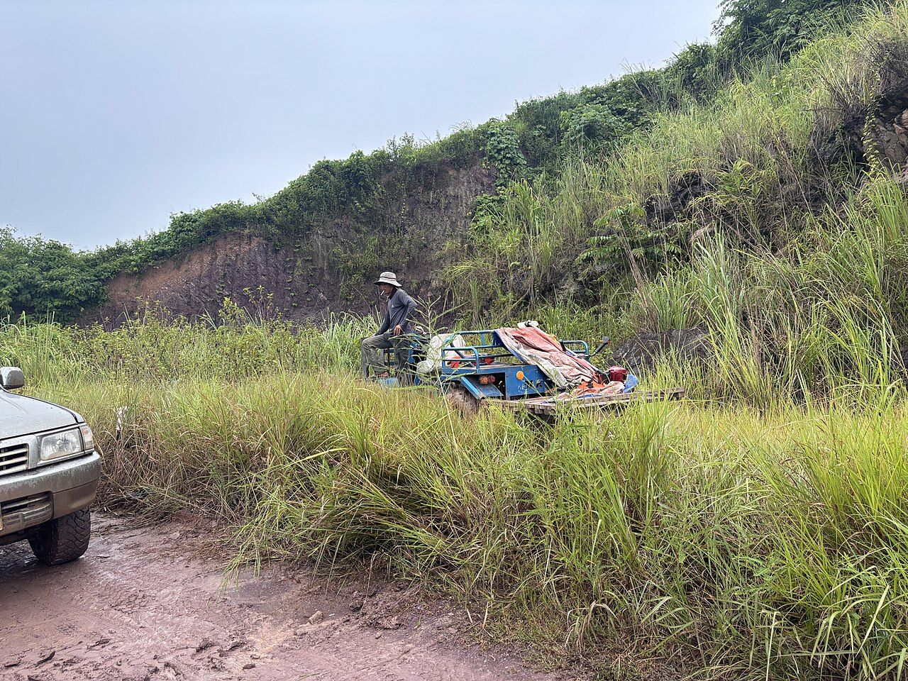
From Pakse, Route 16 heads east across the Xe Don river. The change begins gently: the lower stretch passes rice fields and villages before the climb gets under way. No need to hurry the transition. This is still the low ground, with the plateau ahead and the road doing the work of joining one to the other. The road links the river crossing, the lower fields and villages, and the rise towards the plateau.
Keep an eye on the kilometre posts. They measure distance from Pakse, which makes them a handy way to follow the route as it rises. At Pakse, the road is about 100 metres above sea level. Near Paksong, it is over 1,000 metres. Those figures explain the climb better than a glance out the window does.
As Route 16 gains height, the air temperature drops noticeably. I like that steady change; there is no sudden trick to it, just a cooler feel as the road leaves the lower stretch behind. Trucks carrying plateau produce down to Pakse share this road, a reminder that the climb has a working purpose as well as a view.
Below Paksong, turnings for Tad Fane, Tad Yuang and Tad Gneuang lie along Route 16. The road is still climbing, but the falls are part of the way up, not a separate trip into some far-off corner. Tad Fane is the twin drop off the plateau's western edge.
Near the plateau top, plantations of coffee, bananas and fruit trees line the road. The crop changes are clear, and the air has cooled since Pakse. This is the point where the climb feels complete: lower fields and villages behind, plantations along the way, and Paksong near the high end of the route.
For a closer look at the falls on this climb, continue with the twin drop off the plateau's western edge.