Down the Xe Kong
A map gives the Xe Kong a clean line. The river links upland origins, riverside towns, village boats, fish migration and a meeting with the Mekong in Cambodia.
- From Pakse
- About 3 hours by road
- At its best
- Dry season
A paper map gives the Xe Kong a tidy line through the hills. Round here, the useful part is following that line past the names, not stopping at the first town. Think of it as a route in stages: each one tells a little more about the big river of the east.
Start with the source. The Xe Kong rises in the Annamite Range in Vietnam, then flows through southern Laos into Cambodia. A long course, and a good reminder that the river does not belong to just one place. Its name carries on with it, though not unchanged.
Follow the river through the towns. Sekong and Attapeu both stand on its banks, so the Xe Kong is part of the shape of each place, not simply a line passing nearby. Keep the paper map open through this stretch. The river has more to say than the labels do.
Look for the joining waters near Attapeu. The Xe Kaman joins the Xe Kong close to town. It is a useful point to keep in mind while tracing the route: the Xe Kong gathers another river before continuing on. The map shows the joining waters plainly.
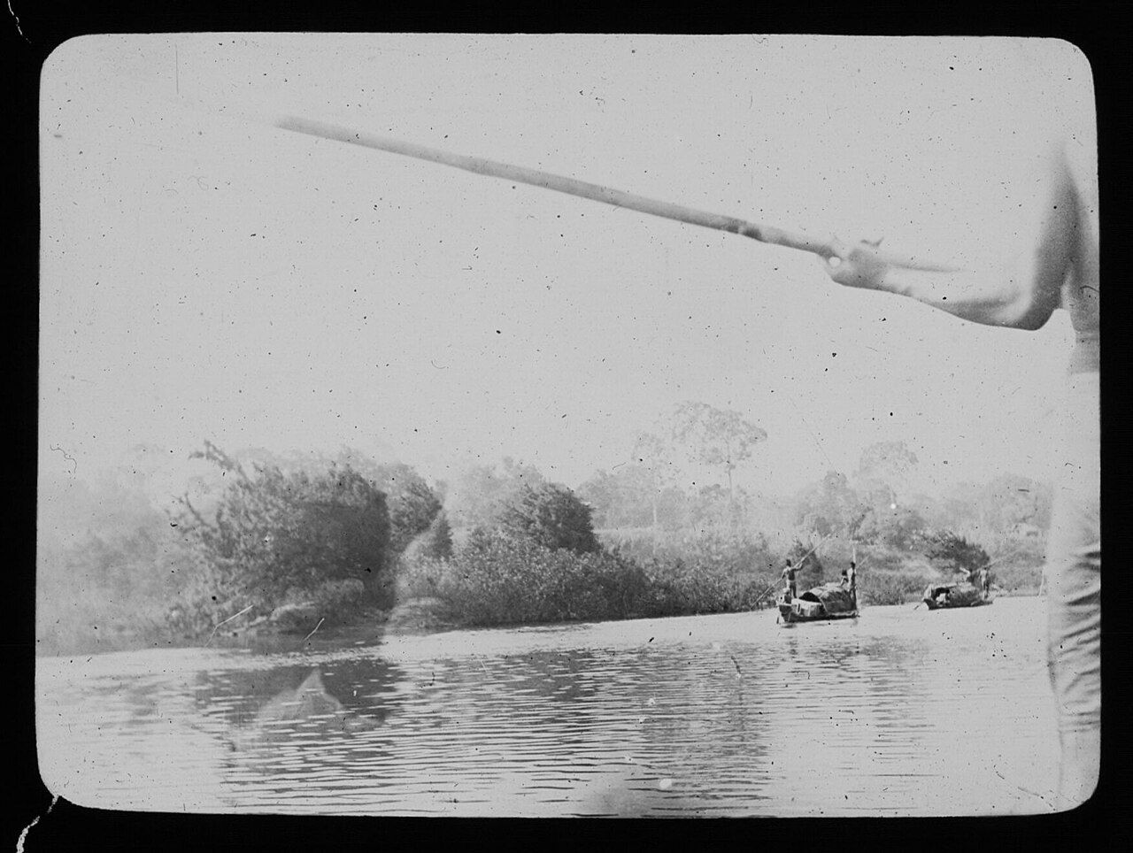
Think of the villages along the banks as part of the river’s working route. Long-tail boats carry people and goods between riverside villages. That practical traffic belongs in the picture too. The Xe Kong is not only a large tributary of the Mekong; it connects places along its own course.
In the dry season, sandbanks appear along the Xe Kong. Then follow the river into Cambodia, where it is called the Sekong and joins the Mekong at Stung Treng. It is one of the Mekong’s largest tributaries, and an important river for fish migration from the Mekong.
That is the route, from its rise in Vietnam to its meeting with the Mekong. On the paper map, the line ends at Stung Treng. The river, of course, has already done all the connecting.